Explore the European Green Belt and BESTbelt projects on two new maps!
We’re excited to present two new maps on the European Green Belt and BESTbelt websites! The maps will help you navigate through the BESTbelt projects and along the European Green Belt.
Maps are great for visualizing and simplifying complex information. Therefore, we introduced two new maps for you:
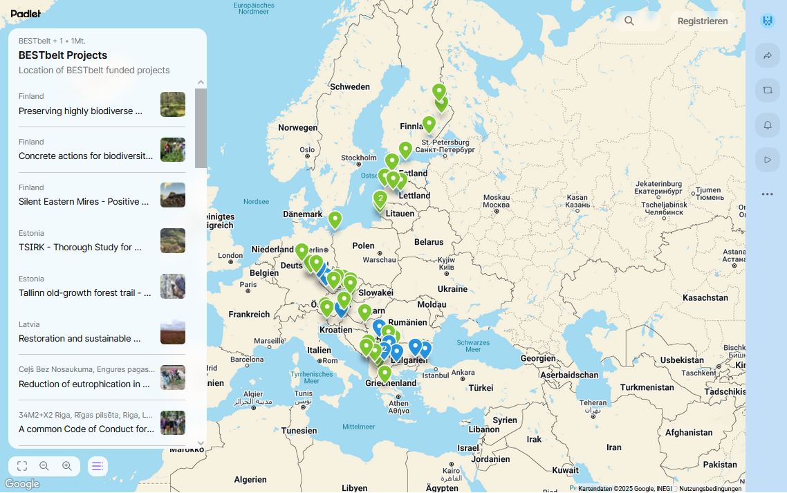
The EU-funded BESTbelt project has grown considerably in recent years: since its launch, 49 projects have been funded and implemented across the European Green Belt. The new map will help you navigate through the projects, whether you're looking for an overview of all the projects or want to dive into the details of a specific project. The map also introduces different colours for the markers that indicate the location of a project: green for projects taking place in one country, and blue for cross-border projects spanning several countries. Clicking on the markers will take you to the project-specific subpage where you can find detailed information about the project!
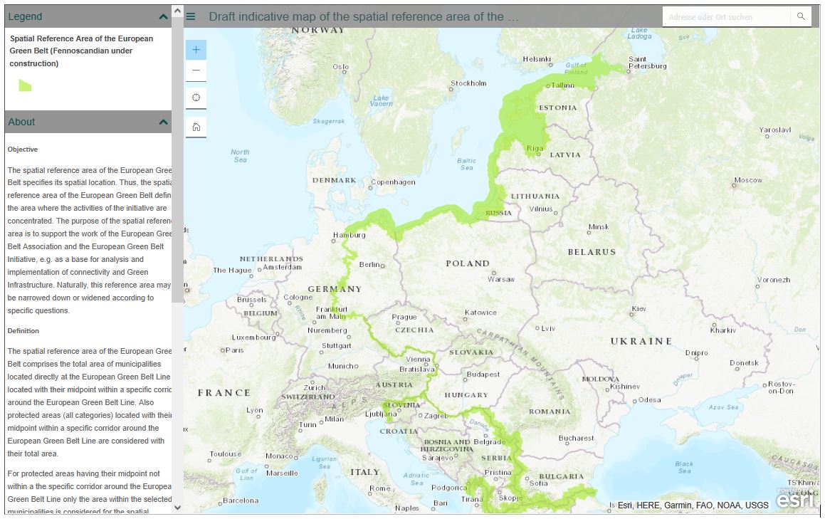
2) Course of the European Green Belt
With 12,5000 kilometres, the European Green Belt is the longest green network in Europe. Logically, it can be difficult to grasp its extent. On the ArcGIS-based map, you can see the European Green Belt in its entirety, but you can also zoom in on any region, country or even municipality you are interested in. The spatial reference area of the European Green Belt defines the area where the activities of the European Green Belt Initiative take place.
Have fun exploring the BESTbelt projects and the European Green Belt on the maps!
Contact: BESTbelt Office