Reduction of eutrophication in grey dune habitats
The project was implemented by Latvian Green Movement in the period of October 2022 until September 2024.

Challenge
As the number of visitors to Latvia's beautiful coastline increases, our precious natural habitats are bearing the brunt of human impact. In addition, extensive research has revealed a worrying trend: the encroachment of trees and the decline of open grey dune areas. To protect our important coastal havens, efforts are needed to conserve and restore these fragile habitats, effectively manage human activities and educate the public, especially local communities.
Objective
The aim of the project was the restoration and sustainable management of habitats and species of Community importance - the grey dunes in the project area.
Approach
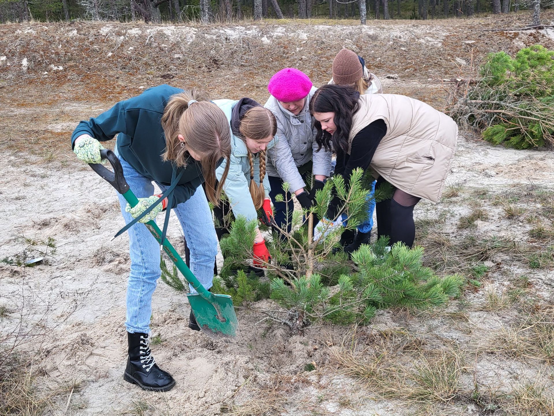
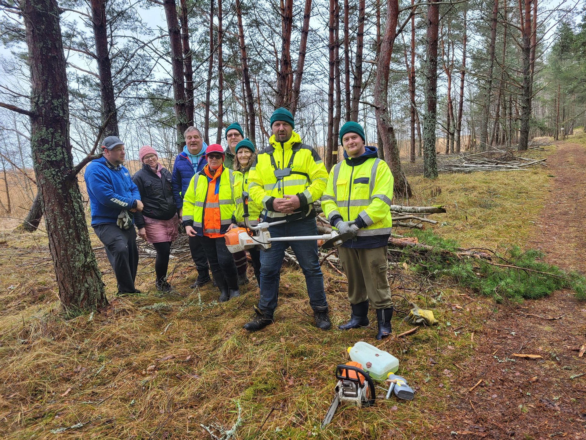
The project area included the "Ragakāpa" and "Engures ezers" nature parks within the Natura 2000 network in Kurzeme. We focused on organising the cutting of small pine trees in the grey dunes and organising events to raise public awareness of the urgent need to preserve the grey dunes. State institutions, municipalities, local communities and schools were invited and involved and actively participated in these important activities.

Achieved Results
The habitat quality and the biodiversity of the 30 hectares of restored grey dunes have improved significantly, including through the increase in light. In total, around 450 people were actively involved in removing and burning the cut bushes, thereby breathing new life into these majestic landscapes. Continued restoration efforts will keep the grey dunes open and functioning as valuable ecosystems for the benefit of the entire region.
BESTbelt project poster
LatGM_Reduction_of_eutrophication_in_grey_dune_habitats.jpg
Download (4 MB)Reduction of eutrophication in grey dune habitats
The project was implemented in the Riga Gulf in the Baltic Sea.
Nearest cities: Talsi and Riga
Project lead: Latvian Green Movement
Kr. Valdemāra iela 17a, LV-3201
Talsi, Latvia
Grant: 39.590,00 €
Duration: 24 months
Contact person for the BESTbelt project: Ilmārs Bodnieks ilmars.bodnieks(at)gmail.com
Website: www.zalie.lv
Interactive Map
This map is currently hidden to protect your privacy. When you click the button below, the map will be loaded from Mapbox.
If you tick the checkbox, this selection will be saved in a cookie and the map will be displayed automatically the next time you visit the site.

