Balkania Route: Two steps towards others
This transboundary project was implemented by the Bulgarian Biodiversity Foundation in collaboration with Protection and Preservation of Natural Environment in Albania (PPNEA), Citizens Association TEAM, Association of Back to Nature and Association Center for medical herbs and berries AMBROZIJA from November 2023 to October 2024.
Challenge
One major issue in the Balkans is that people are more prone to recognise the Iron curtain than the European Green Belt. Even if one decides to start exploring the region, the information is scarce, not accessible online, reliable and up to date. The existing tourism products are not exploiting the potential of natural and cultural heritage, nor is there sufficient investment in new tourism infrastructure.
Objective
The project aimed to strengthen, support and connect existing green infrastructure by creating a concept for a long-distance hiking trail along the Balkan Green Belt. Such a trail can contribute to raising awareness and experiencing the highly valuable nature along the Balkan Green Belt and can stimulate sustainable tourism and related jobs in the region. The concept of a Balkan Green Belt Trail can also set the foundation for a future flagship project for a long-distance hiking trail along the entire European Green Belt.
Approach
The project was implemented through:
- Co-planning of the concept for a Balkan Green Belt Trail together with partners from all involved countries
- Validating the planned trail in the field
- Processing GPS track data and providing logistical information of the trail for future hikers
- Communication and promotion of the trail on social media
- Organising events in all involved countries to raise awareness of the European Green Belt and the Balkan Green Belt Trail

Achieved Results
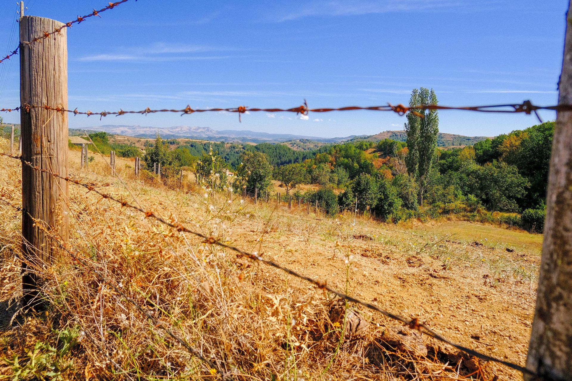
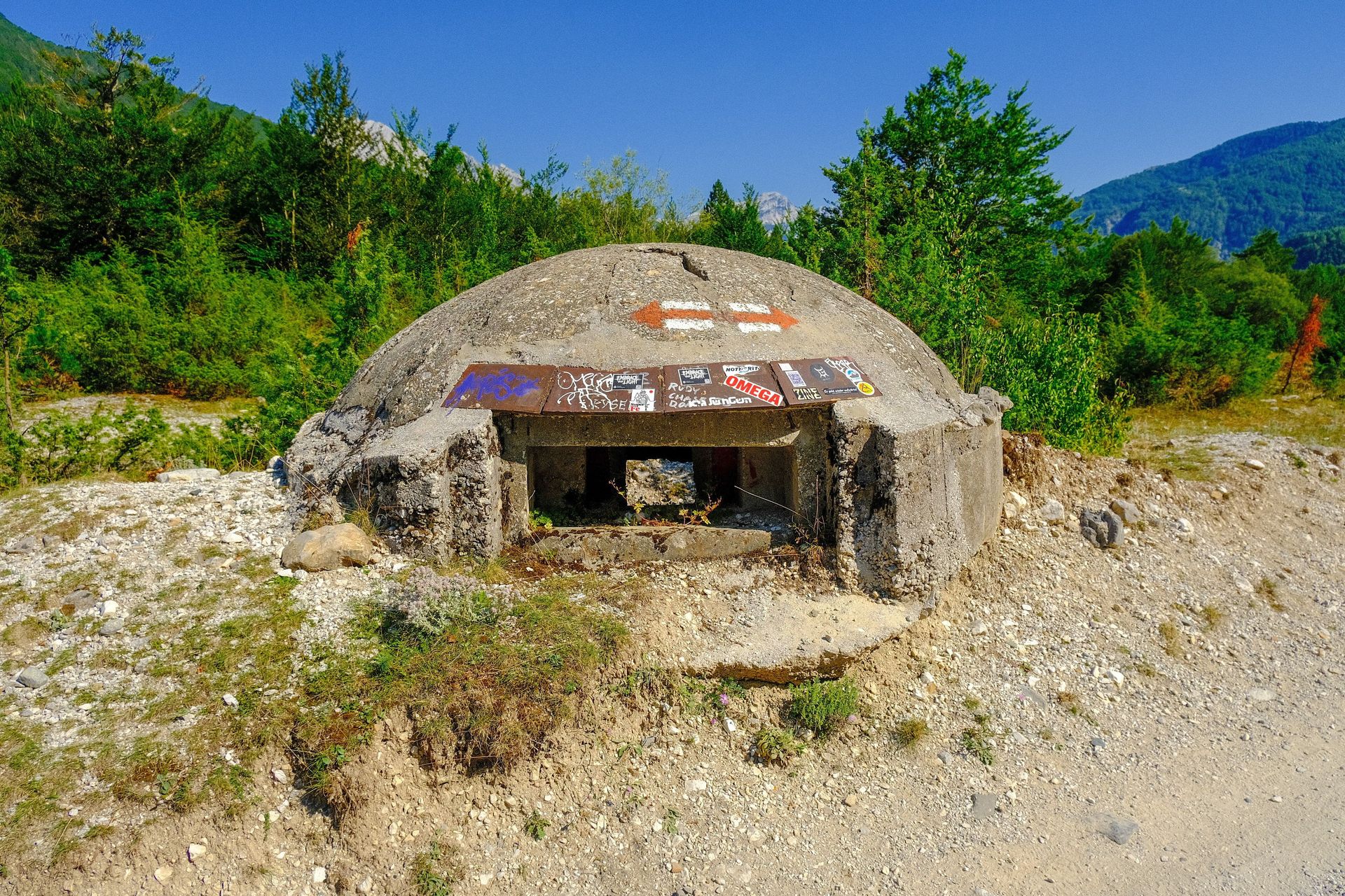
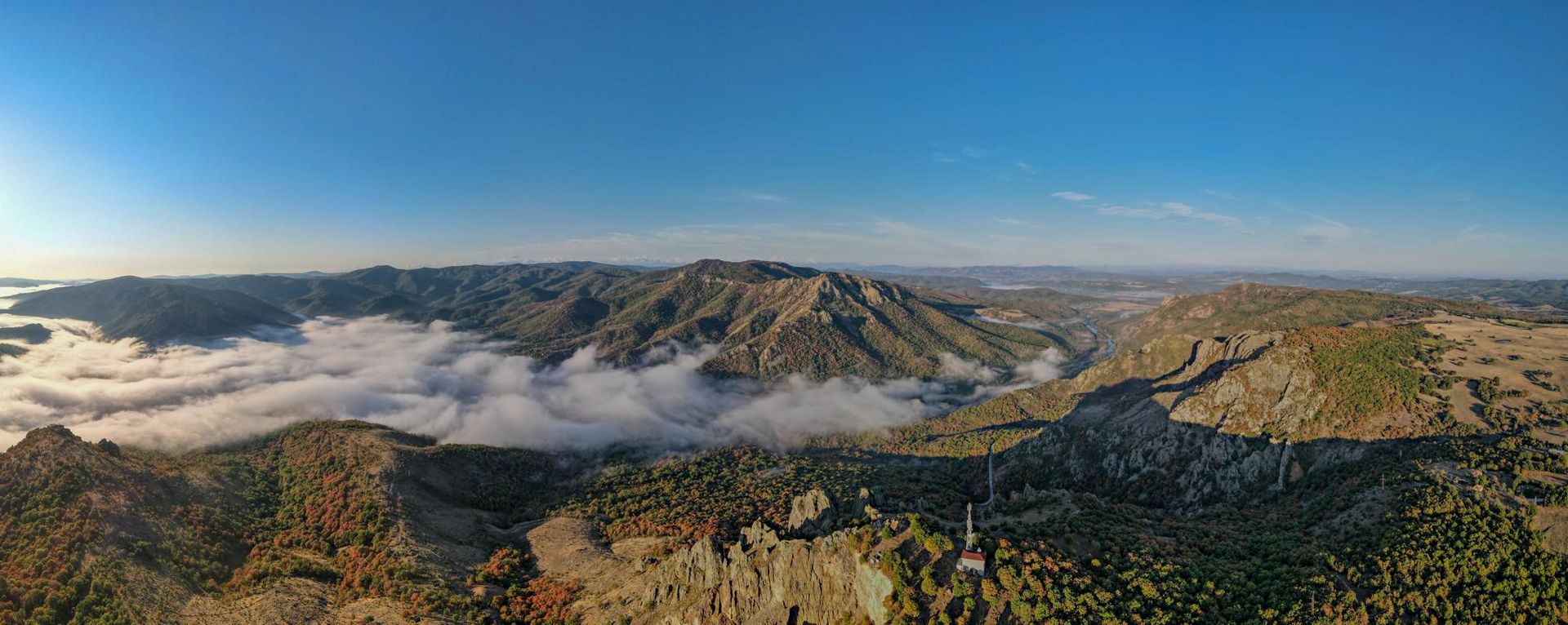
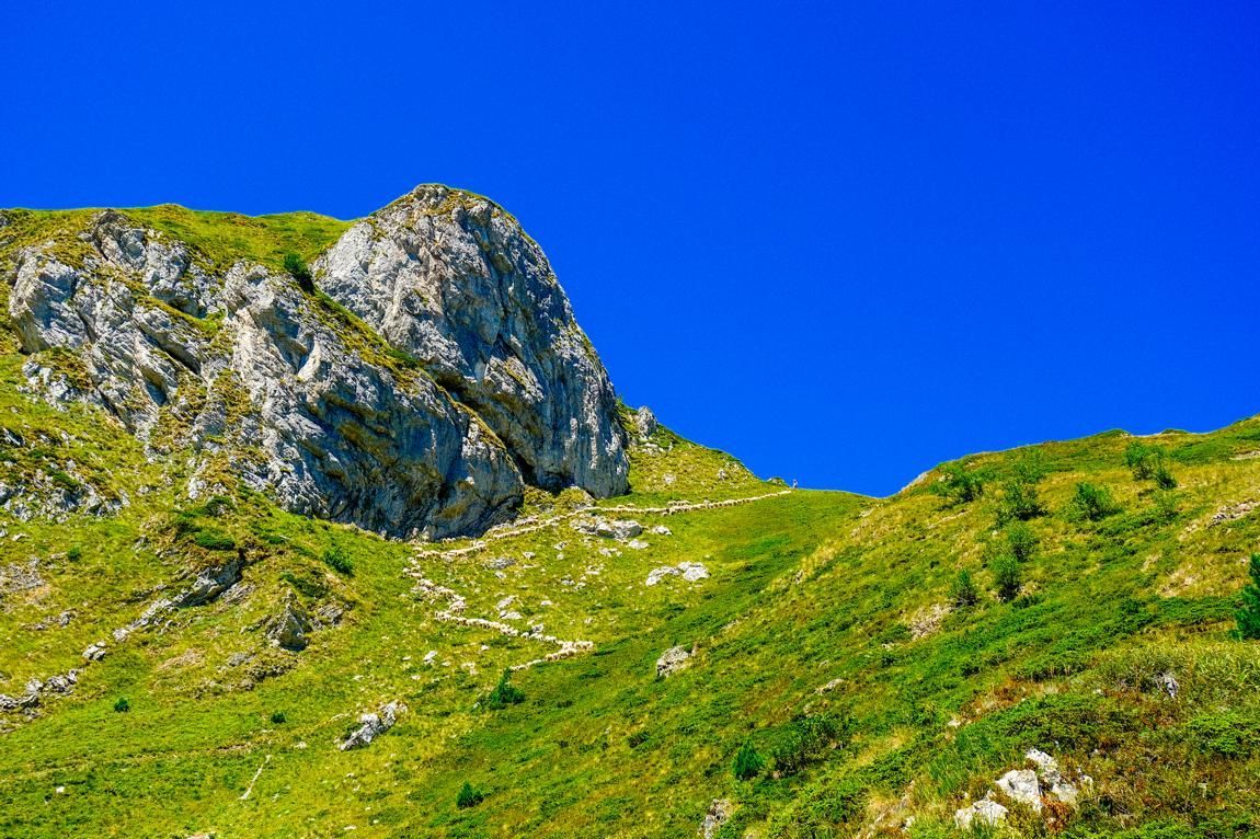
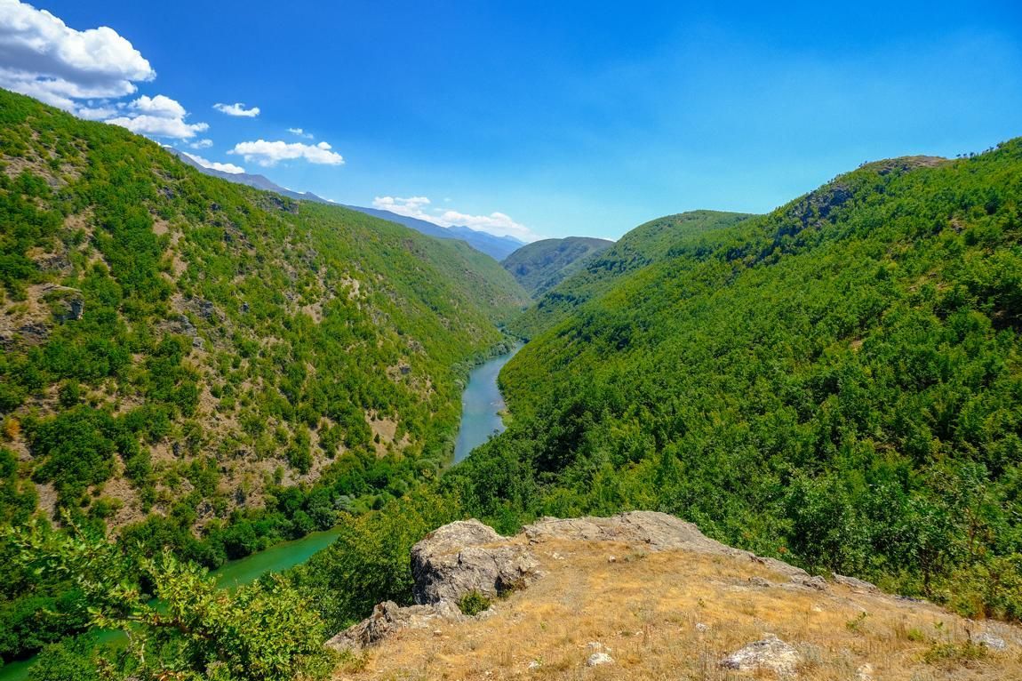
During the project, 3340 km of trails in 6 Balkan countries have been verified on the ground. Detailed GPS data and important logistical information have been integrated into a concept for a long-distance hiking trail along the Balkan Green Belt passing through Serbia, Bulgaria, North Macedonia, Montenegro, Albania and Turkey. The social media campaign reached more than 10,000 people who learned more about the Balkan Green Belt Trail.
You can find the Balkan Green Belt Trail on outdooractive. GPX tracks and water sources can be downloaded here for free.
**Disclaimer:** The Balkan Green Belt Trail is a concept rather than a fully marked or maintained hiking path throughout its entirety. While some sections may have clear trails and signage, others may not be marked or well-maintained and could require navigation skills, local knowledge, or GPS assistance. Hikers should be prepared for varying terrain and conditions, including potentially unmarked areas, and are encouraged to research the specific sections they plan to hike. Proper planning, safety precautions, and awareness of local regulations are essential.
Map of Balkan Green Belt Trail
BESTbelt project poster
BBF_Balkania_Route.jpg
Download (3 MB)Developing a concept for a Balkan Green Belt Trail - Follow the ground verification process
Click here to watch the entire series (19 chapters) about the Balkan Green Belt Trail on YouTube.
Balkania Route: Two steps towards others
The project was implemented in Serbia, Bulgaria, North Macedonia, Montenegro, Albania and Türkiye.
Project lead: Bulgarian Biodiversity Foundation (BBF)
Central Office
Sofia, 1000, 6 Triaditza. fl. 5, office 504
Bulgaria
Grant: 59.982,06 €
Duration: 12 months
Contact person for the BESTbelt project: Petar Vanev petar.vanev(at)biodiversity.bg
Website: https://biodiversity.bg/
Interactive Map
This map is currently hidden to protect your privacy. When you click the button below, the map will be loaded from Mapbox.
If you tick the checkbox, this selection will be saved in a cookie and the map will be displayed automatically the next time you visit the site.