Mapping of fish spawning grounds and nurseries in the Curonian Lagoon for better management and protection of natural resources
The project is implemented by the Lithuanian Fund for Nature in collaboration with the Klaipėda University from October 2024 to September 2026.
Challenge
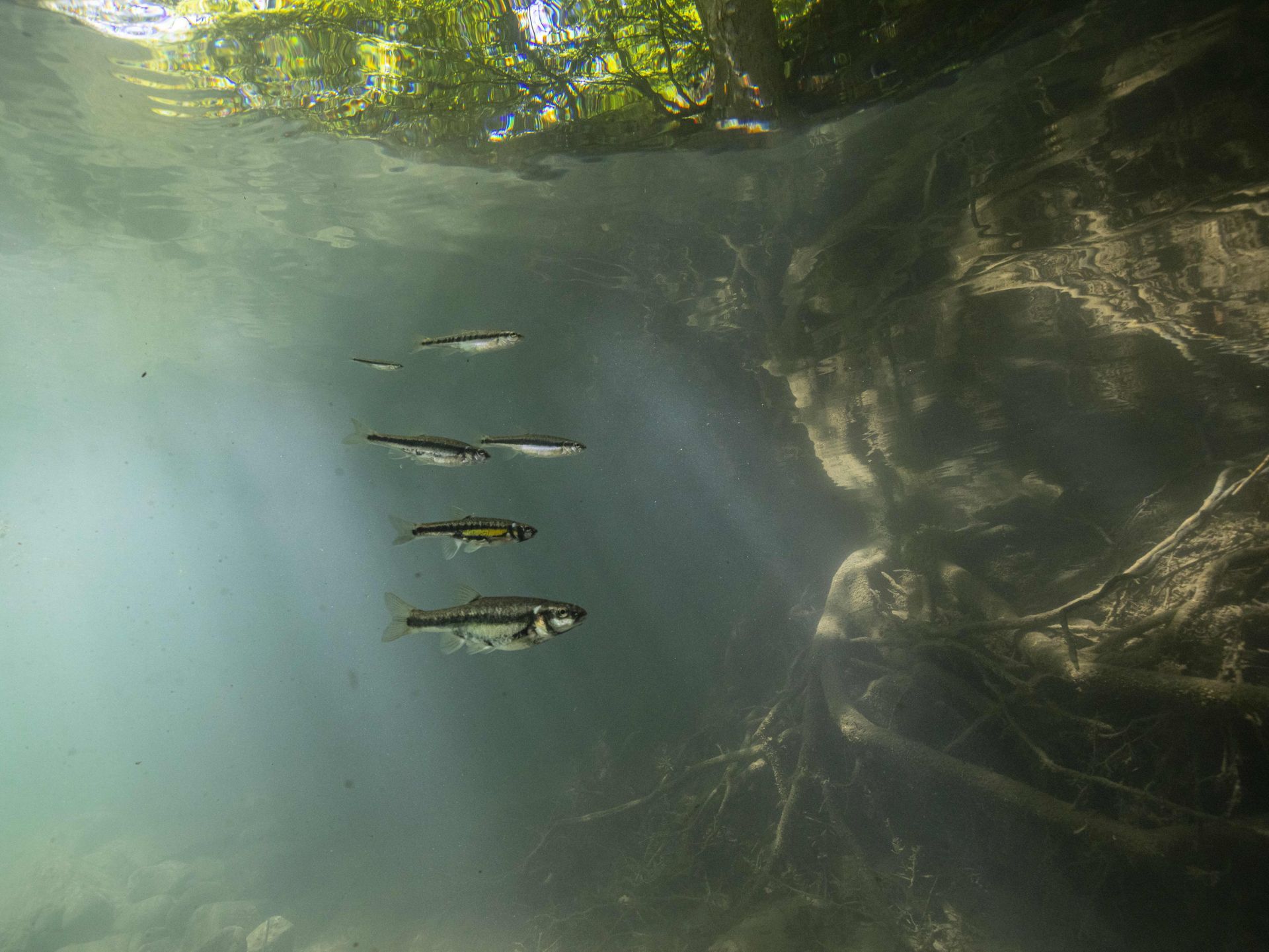
There are many difficulties in protecting fish in the Curonian Lagoon. At the moment, decisions about fishing regulations are based on unclear and incomplete information. Without knowing exactly where fish lay their eggs or grow, it's hard to protect them. Frequent storms and the deepening of the harbour bring in salty water, which affects fish survival, but we don't fully understand how. Another challenge is to involve the fishermen and local communities. Many people don't see how their actions affect fish stocks. Sharing knowledge and persuading decision-makers to act is another hurdle. Without clear data, good maps and public support, ensuring a healthy future for the lagoon's fish remains uncertain.
Objective
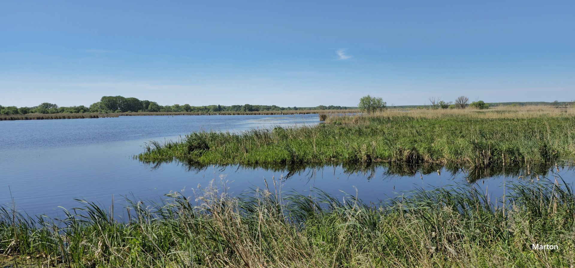
This project promotes the wise use of nature and protects fish populations. We will map fish spawning and nursery areas, focusing on both commercial and endangered species. We will use this data to lobby for better fishing regulations and to ensure that future port developments take fish habitats into account. The Curonian Lagoon is rich in wildlife and vital for fish and birds. Fishing and tourism shape local communities and protecting fishing grounds supports both nature and tradition. By identifying key spawning areas, we help fish thrive, ensure sustainable fishing and preserve cultural heritage for future generations.
Approach
This project brings together scientists, fishermen and nature lovers to protect fish habitats and support local communities. By mapping fish spawning areas, we will help conserve the rich biodiversity of the Curonian Lagoon. Local fishermen and anglers will collect the data, using their intimate knowledge of the lagoon. Experts from Klaipėda University and the Curonian National Park will support the project to ensure accurate research. We will work with policymakers to improve fishing regulations and conservation efforts. While cooperation with Russia is not possible now, this project could inspire future cross-border efforts to protect the lagoon's wildlife.
Expected Results
This project will significantly improve our understanding of fish habitats in the Curonian Lagoon. We will map fish spawning sites across 85% of the Lithuanian side of the lagoon. Local fishermen and nature enthusiasts will help by collecting data at 80 sites. We will offer training for the local community and citizen science. Additionally, we will organize meetings to share knowledge about historical fish management practices and discuss how to protect critical habitats. The data and maps we create will help improve fishing practices and support sustainable development, benefiting both nature and local communities.

Mapping of fish spawning grounds and nurseries in the Curonian Lagoon for better management and protection of natural resources
The project is implemented the Curonian Lagoon in Lithuania.
Project lead: Lithuanian Fund for Nature
Algirdo strg. 22-3,
03218 Vilnius, Lithuania
Grant: 37.996,36 €
Duration: 24 months
Contact person for the BESTbelt project: Robertas Staponkus robertas.s(at)glis.lt or robertas.s(at)lgf.lt
Website: https://www.lgf.lt
Interactive Map
This map is currently hidden to protect your privacy. When you click the button below, the map will be loaded from Mapbox.
If you tick the checkbox, this selection will be saved in a cookie and the map will be displayed automatically the next time you visit the site.