Mapping and restoring fens and lean wet meadows
The project was implemented by Naturschutzbund Austria in partnership with the University of Vienna from October 2022 to April 2024.
Challenge
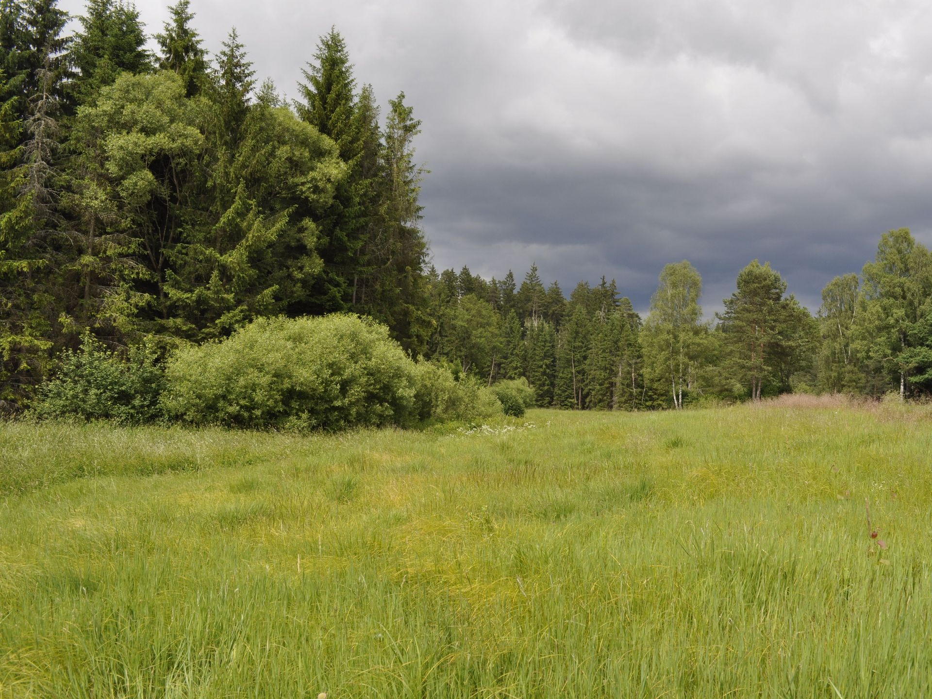
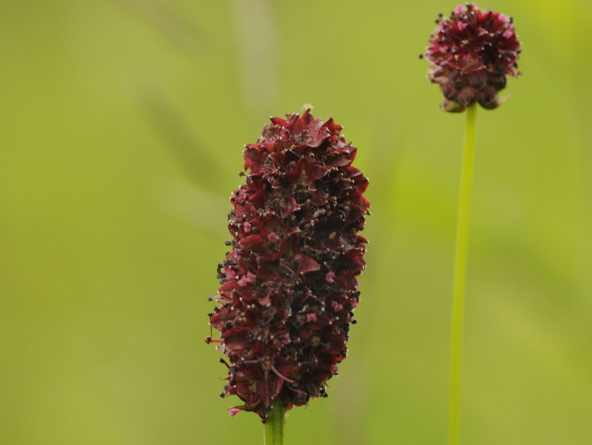
Fens and lean wet meadows, vital habitats in Central Europe and along the European Green Belt, face endangerment due to drainage and intensified land use. Loss of these species-rich areas impacts ecosystem services like water supply, flood protection, and CO2 sequestration; these impacts are further magnified by climate change. This rapid development is particularly evident in the Waldviertel region.
Objective
The project aimed to preserve and restore fens and lean wet meadows along the European Green Belt, contributing to biodiversity protection and climate change adaptation. Three specific objectives were pursued: to improve knowledge of fen occurrence through remote sensing, to test measures to allow mowing despite wetness by closing and reopening drainage ditches, and to raise awareness of the importance of these habitats to prevent further destruction.
Approach
The project goals were met by:
- Using machine learning to classify and locate fens and lean wet meadows and to identify mapping areas and potential restoration sites.
- Implementing restoration measures by closing drainage ditches, temporarily opening them before mowing to ensure the meadows are dry enough, and then closing them again.
- Working with local people identify and propose measures for their fens and wet meadows.
- Facilitating the implementation of conservation measures.
- Advocating and highlighting the value of fens and wetlands.
Achieved results
As a result of our project, we achieved a better awareness of the conservation of fens and poor wet meadows in the region, which is important for both nature conservation and climate protection. In addition, knowledge of the distribution of these habitats in the region was improved and a geodatabase of potential occurrences was created. Another important outcome was the restoration of three fens. Restoration measured included installing self-developed clay barriers in drainage ditches that can be closed temporarily. Approximately 60 people attended two related workshops, including important multipliers and representatives of various organizations and institutions relevant to the area. In addition, a concept for a European Green Belt Camp in the region was developed.
BESTbelt project poster

Naturschutzbund_Austria_Mapping_and_restoring_fen_and_lean_wet_meadows.jpg
Download (4 MB)Mapping and restoring fens and lean wet meadows
The project was implemented in Northwestern Lower Austria, from Bad Großpertholz to Raabs.
Nearest city: České Budějovice (Czech Republic)
Project lead: Naturschutzbund Lower Austria
Mariannengasse 32/2/16,
A-1090 Wien
Grant: 39.009,53 €
Duration: 19 months
Contact person for the BESTbelt project: Margit Gross margit.gross(at)naturschutzbund.at
Website: www.noe-naturschutzbund.at
Interactive Map
This map is currently hidden to protect your privacy. When you click the button below, the map will be loaded from Mapbox.
If you tick the checkbox, this selection will be saved in a cookie and the map will be displayed automatically the next time you visit the site.